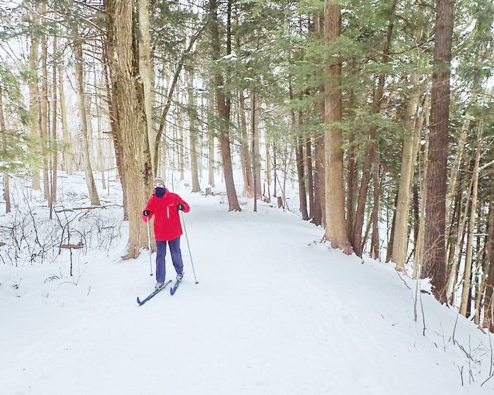
Bronte Creek Provincial Park, in the midst of Oakville, has plenty of land to traverse on X-Country skis or by Snowshoe. An enjoyable outing with a partner or the kids, close by for many in the GTA.
The park is expansive and rather flat going with a mixer of woodlots, parklands, fields and old farm homesteads. Consider it an easy ski or snowshoe day for the most part where you have to make your own tracks if you can not find others before you.
The park is divide by a large rather impressive 50 m deep ravine with the Bronte Creek flowing below. A suspension bridge would be a welcomed addition as there is no means of getting to the other side. So the park is split in two and I would favour the east side that has more paths to discover.
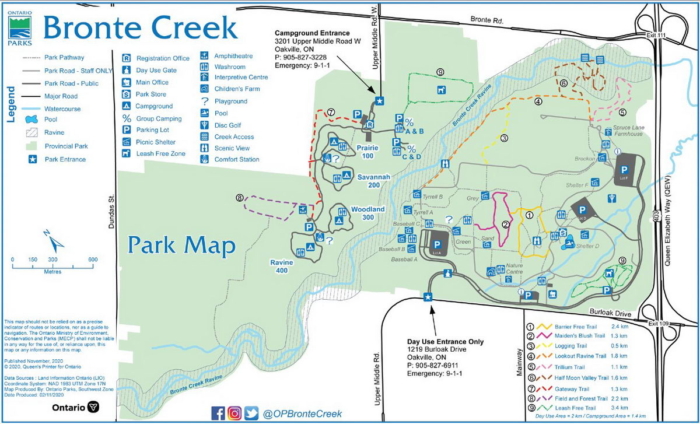
The main paths will have little fresh snow as there are a lot of hikers and dogs that will have tramped down the routes. You need to feel comfortable Cross Country skiing without a set track. This would be important on the scenic Lookout Ravine Trail 1.8 km. Yes, look out for the edge and avoid tumbling down into the gully.
Another loop Half Moon Valley 1.6 km has big hills that only seasoned skiers might try. The rest of the park is a breeze to get around. Consider the Trillium Trail 1.1 km, a scenic loop by the Spruce Lane farmhouse.
The large hill at the centre of the park has some wicked tobogganing runs on both sides. Finding my way around it and staying on course to get back to Parking Lot A was a bit of a guess.
For a park of this stature, the trail signage is poor/missing and you would be wise to take the paper map they had out at the gatehouse. I saw a few old Nordic signs an hour into my trek but there are no official routes on the map. As I mentioned this park is more of a wander around and make your own way concept.
This location has no grooming and maybe it should but being this far south and close to Lake Ontario it makes for a short winter with thin snow coverage. Yet Bronte Creek is good for a quick ski or stomp.
Located between Toronto and Hamilton you can find an endless choice of places to eat and stay over afterwards. But first, before you go, do check if they have enough of that fluffy white stuff.


